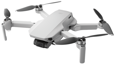
Maverick offers a range of drone-related assistance that is in high demand.
Agriculture
- Crop Monitoring and Management: Drones equipped with cameras and sensors are used for monitoring crop health, identifying pest infestations, and optimizing irrigation patterns.
Surveying and Mapping
- Land Surveying: Drones facilitate efficient and accurate land surveys for construction projects, urban planning, and infrastructure development.
- Topographical Mapping: Drones are employed to create detailed topographic maps for various purposes, including environmental studies and disaster management.
Infrastructure Inspection
- Power Line and Pipeline Inspection: Drones equipped with high-resolution cameras and thermal sensors help inspect power lines, pipelines, and other critical infrastructure without human intervention.
- Bridge and Building Inspection: Drones are used to assess the structural integrity of bridges and buildings, enabling faster and safer inspections.
Security and Surveillance
- Border Security: Drones play a role in border surveillance, helping security forces monitor remote and inaccessible areas.
- Event Security: Drones are deployed for crowd monitoring and surveillance during public events.
Media and Entertainment
- Film and TV Production: Drones are extensively used in the film and television industry for aerial cinematography and capturing unique perspectives.
- Event Coverage: Drones provide dynamic aerial views for live events and sports coverage.
Healthcare
- Medical Deliveries: Drone services are explored for the transportation of medical supplies, especially in remote areas.
- Emergency Response: Drones equipped with medical payloads can be used in emergency situations for delivering first aid supplies or locating missing individuals.
Environmental Monitoring
- Wildlife Conservation: Drones aid in wildlife monitoring, tracking animal populations, and collecting data for conservation efforts.
- Forest Surveillance: Drones are employed for monitoring deforestation, illegal logging, and forest health.
Environmental Monitoring
- Wildlife Conservation: Drones aid in wildlife monitoring, tracking animal populations, and collecting data for conservation efforts.
- Forest Surveillance: Drones are employed for monitoring deforestation, illegal logging, and forest health.
Logistics and Delivery
- Last-Mile Delivery: Companies are testing drone deliveries for small packages, especially in urban areas, to reduce delivery times.
Weather Forecasting
- Meteorological Applications: Drones equipped with atmospheric sensors contribute to weather data collection and research.
Training and Education
- Drone Pilot Training: Institutes offer drone pilot training programs to educate individuals on safe and responsible drone operation.
It's important to note that the Directorate General of Civil Aviation (DGCA) in India regulates drone operations, and operators must comply with the prescribed guidelines.
Our services are accessible to clients all over India.


