LiDAR Sensor for Drone
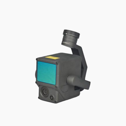
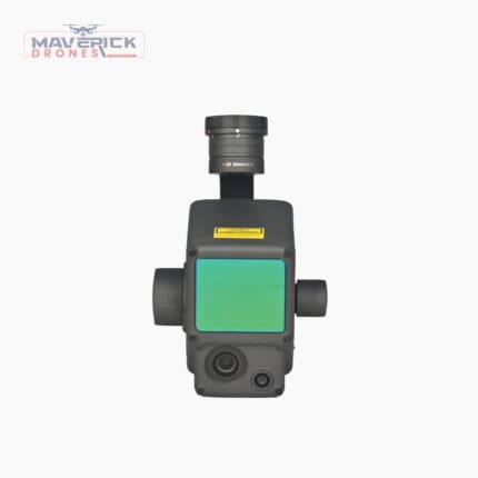

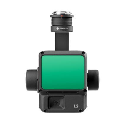
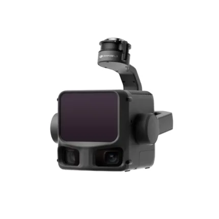
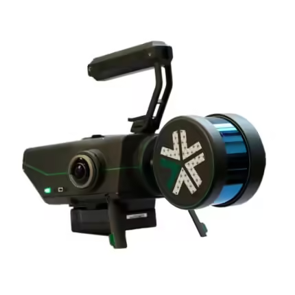

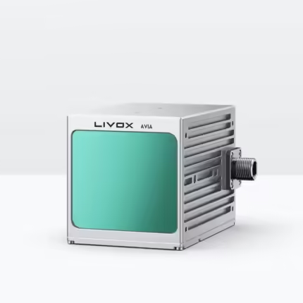

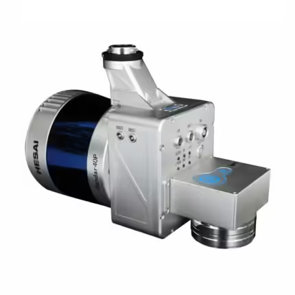

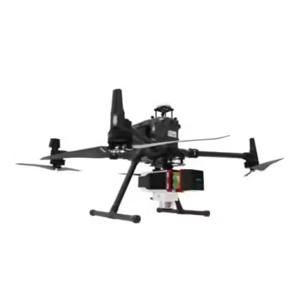

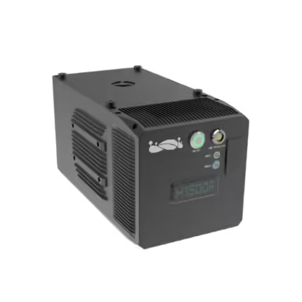

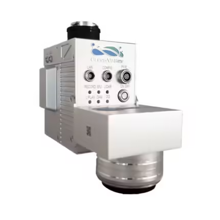

Welcome to our comprehensive LiDAR category, where cutting-edge technology meets the limitless skies. LiDAR, short for Light Detection and Ranging, has revolutionized the capabilities of drones, enabling unprecedented precision and accuracy in mapping, surveying, and various other applications. In this category, we delve into the transformative realm of LiDAR, with a particular focus on drones, and showcase leading products that elevate aerial data acquisition to new heights. LiDAR is a remote sensing technology that utilizes laser light to measure distances with remarkable accuracy. When integrated into drones, LiDAR systems provide three-dimensional mapping and imaging capabilities, making them indispensable tools for industries such as agriculture, forestry, construction, and surveying. The speed and precision of LiDAR make it an ideal solution for capturing detailed terrain data and creating high-resolution maps. DJI Zenmuse L1: Elevating Aerial Surveying to Unprecedented Levels - At the forefront of LiDAR innovation for drones is the DJI Zenmuse L1. This groundbreaking product seamlessly integrates LiDAR technology with a high-precision IMU and a camera with a 1-inch CMOS sensor. The result? A compact and powerful solution that empowers professionals with accurate geospatial data and stunning visual imagery. The Zenmuse L1 is designed to effortlessly attach to DJI Matrice Series drones, providing users with a comprehensive surveying and mapping tool. With a laser range finder that can measure up to 500 meters and a point cloud density of up to 240,000 points per second, the L1 ensures that every detail of the landscape is captured with unparalleled clarity. DJI Zenmuse L2: Redefining Lidar Excellence in Aerial Exploration - Taking LiDAR capabilities to the next level, the DJI Zenmuse L2 is a testament to precision engineering and technological advancement. Equipped with Livox LiDAR sensors, the L2 delivers outstanding point cloud density and range, setting new standards for drone-based LiDAR systems. The Zenmuse L2 is designed for professionals who demand the utmost accuracy in their data collection. With advanced features such as multi-return technology and adjustable scanning patterns, this LiDAR solution offers flexibility and adaptability for various applications, from infrastructure inspection to environmental monitoring. Explore Our Full Range Of LiDAR Solutions For Drones- Beyond the DJI Zenmuse series, our LiDAR category encompasses a diverse range of products that cater to different needs and preferences. Whether you are a surveyor, mapper, or researcher, our selection of LiDAR solutions ensures that you have access to the latest technology for your aerial endeavors. Embark on a journey of precision and innovation with our LiDAR category. Explore the possibilities and equip your drone with the transformative capabilities of LiDAR technology. Elevate your aerial data collection to unprecedented levels of accuracy and detail.


