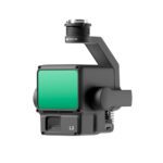
DJI Zenmuse L2 – DJI LiDAR
₹1,023,010.00
Technical Specifications Of The DJI Zenmuse L2
General Specifications
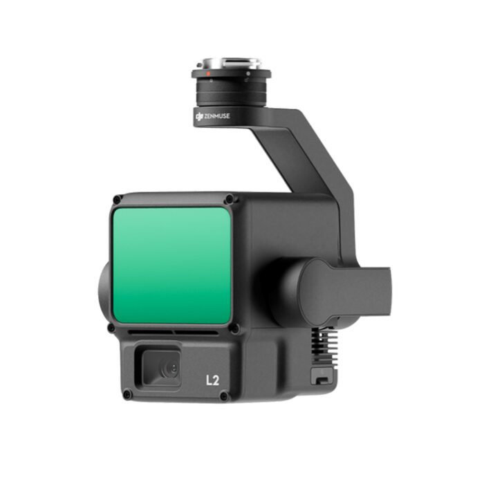
Product Name: Zenmuse L2
Dimensions: 155×128×176 mm (L×W×H)
Weight: 905±5 g
Power: 28 W (typical), 58 W (max.)
IP Rating: IP54
Storage Temperature: -20° to 60° C (-4° to 140° F)
- 7 Days Return, Exchange & Refund Policy.
- Free Delivery within 3 to 5 Days.
- Assured Product Quality. We deal with only Genuine Products.
- Peace of mind Warranty. Check Our Warranty Policy.
- Contact Us for Any Assistance.
Guaranteed Safe Checkout
DJI Zenmuse L2: Unmatched LiDAR Precision
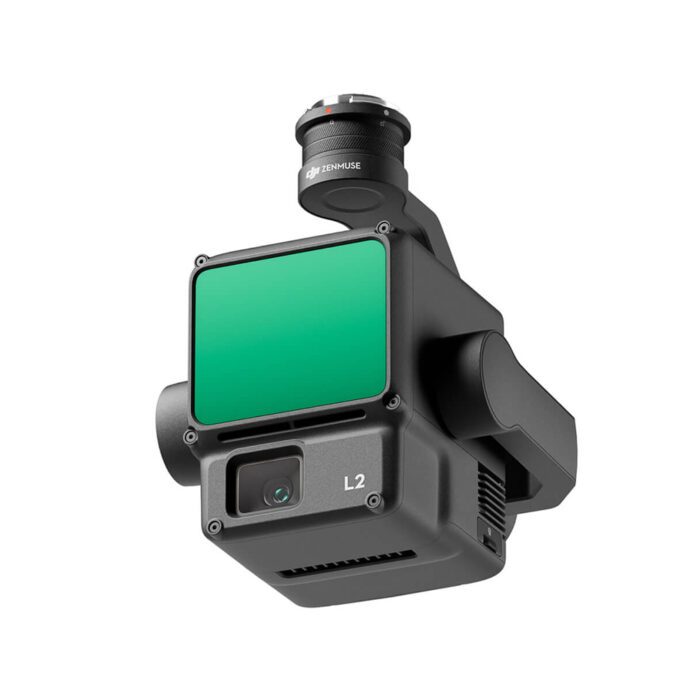
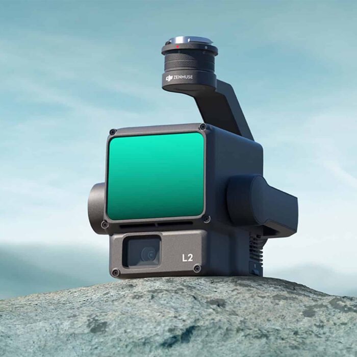
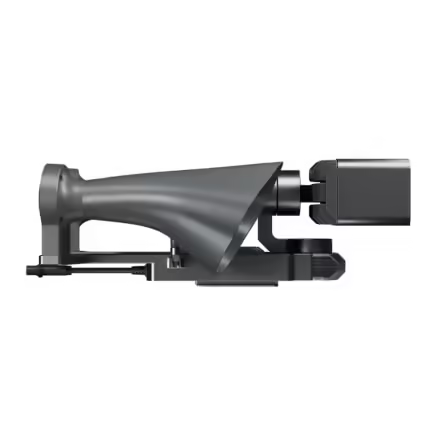
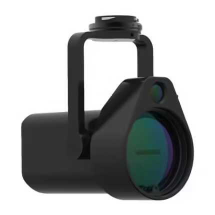
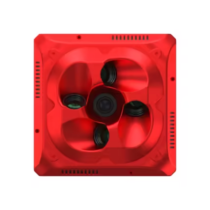
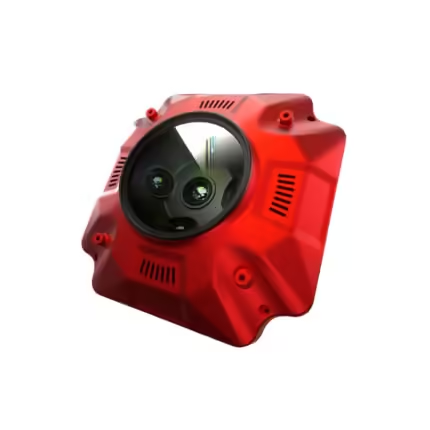
The DJI Zenmuse L2 is an advanced LiDAR payload designed to deliver exceptional performance in aerial mapping, surveying, and other precision-based tasks. Integrated with DJI’s enterprise-grade drones, the Zenmuse L2 offers unparalleled accuracy, with a powerful LiDAR sensor, 20 MP RGB camera, and robust real-time processing capabilities. Whether you are working on large-scale infrastructure projects, environmental mapping, or disaster management, the Zenmuse L2 is engineered to help professionals achieve the highest level of precision in their field.
IF YOU ARE INTERESTED IN RELATED PRODUCTS, THEN DO VISIT THIS CATEGORY PAGE…
Technical Specifications Of The DJI Zenmuse L2
General Specifications
Product Name: Zenmuse L2
Dimensions: 155×128×176 mm (L×W×H)
Weight: 905±5 g
Power: 28 W (typical), 58 W (max.)
IP Rating: IP54
Storage Temperature: -20° to 60° C (-4° to 140° F)
Operating Temperature: -20° to 50° C (-4° to 122° F)
System Performance
Detection Range:
450m @ 50% reflectivity, 0 klx
250m @ 10% reflectivity, 100 klx
Maximum detection range: 500 m
Point Cloud Rate:
Single return: 240,000 pts/s
Multiple returns: 1,200,000 pts/s
System Accuracy:
Horizontal: 5 cm @ 150 m
Vertical: 4 cm @ 150 m
Real-Time Point Cloud Coloring Coding: Reflectivity, Height, Distance, RGB
LiDAR Specifications
Ranging Accuracy (RMS 1σ): 2 cm @ 150 m
Maximum Returns Supported: 5
Scanning Modes:
Non-repetitive scanning pattern
Repetitive scanning pattern
Laser Wavelength: 905 nm
Laser Beam Divergence: Horizontal 0.2 mrad, Vertical 0.6 mrad
Laser Pulse Emission Frequency: 240 kHz
Laser Safety: Class 1 (IEC 60825-1:2014)
IMU System
IMU Update Frequency: 200 Hz
Accelerometer Range: ±6 g
Angular Velocity Meter Range: ±300 dps
Horizontal Positioning Accuracy: RTK FIX: 1 cm + 1 ppm
Vertical Positioning Accuracy: RTK FIX: 1.5 cm + 1 ppm
RGB Mapping Camera
Sensor: 4/3 CMOS, 20 MP
Lens: 24 mm equivalent focal length, f/2.8-f/11 aperture
Shutter Speed: 2-1/2000 s (Mechanical), 2-1/8000 s (Electronic)
Photo Format: JPEG/DNG (RAW)
Video Format: MP4 (MPEG-4 AVC/H.264 or HEVC/H.265)
ISO: Video: 100-6400; Photo: 100-6400
Gimbal
Stabilization: 3-axis (tilt, roll, pan)
Mounting: Detachable DJI SKYPORT
Mechanical Range:
Tilt: -143° to +43°
Pan: ±105°
Controllable Range:
Tilt: -120° to +30°
Pan: ±90°
Data Storage
Raw Data Storage: Photo/IMU/Point cloud/GNSS/Calibration files
Point Cloud Data Storage: Real-time modeling data storage
Supported microSD Cards:
Lexar 1066x 64GB U3 A2 V30 microSDXC
Kingston Canvas Go! Plus 128GB U3 A2 V30 microSDXC
DJI Zenmuse L2 Compatibility
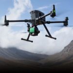
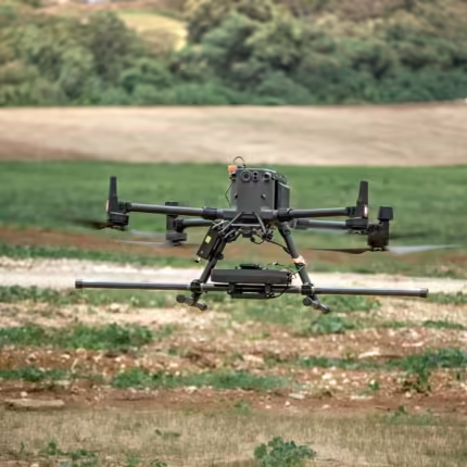
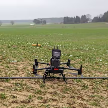
The Zenmuse L2 is compatible with the–
- DJI MATRICE 300 RTK and the
- DJI MATRICE 350 RTK,
two of DJI's top enterprise drones. With these aircraft, the Zenmuse L2 integrates seamlessly, delivering high-precision LiDAR and imaging data for various industries, including surveying, construction, agriculture, and more.
Applications Of DJI Zenmuse L2
Aerial Surveying And Mapping
- Achieve precise 3D models for land mapping and urban planning.
- Ideal for large-scale terrain modeling and volumetric measurements.
Infrastructure Inspection
- Quickly assess the condition of bridges, buildings, and powerlines with detailed point clouds and imagery.
- Provides accurate measurements in hard-to-reach areas.
Environmental Monitoring
- Monitor forests, rivers, and natural landscapes with high-detail LiDAR data for vegetation mapping and terrain analysis.
- Useful in flood modeling, forest management, and habitat conservation.
Agriculture
- Conduct crop health assessments, soil analysis, and irrigation planning.
- Help farmers optimize land use and improve yields with detailed 3D mapping and vegetation analysis.
Search And Rescue Operations
- Assist in disaster recovery efforts by providing quick, accurate terrain data.
- Enable rescue teams to navigate difficult environments and locate survivors.
Most Searched Questions About The DJI Zenmuse L2
Answer: The maximum detection range is 500 meters under optimal conditions.
Answer: The Zenmuse L2 is compatible with the DJI Matrice 300 RTK and DJI Matrice 350 RTK.
Answer: The Zenmuse L2 offers a horizontal accuracy of 5 cm and vertical accuracy of 4 cm at a distance of 150 m.
Answer: Yes, the Zenmuse L2 is excellent for vegetation mapping, providing precise data for forestry and agricultural applications.
Answer: The Zenmuse L2 has an IP54 rating, making it dust and water-resistant for use in various weather conditions.
Answer: The Zenmuse L2 is compatible with DJI Terra for point cloud generation and other post-processing tasks.
Comparison Of DJI Zenmuse L2 VS. DJI Zenmuse L1
|
FEATURE |
DJI ZENMUSE L2 |
DJI ZENMUSE L1 |
|---|---|---|
|
DETECTION RANGE |
500 m (max) |
450 m (max) |
|
RANGING ACCURACY (RMS 1Σ) |
2 cm @ 150 m |
5 cm @ 100 m |
|
POINT CLOUD RATE |
Single return: 240,000 pts/s; Multiple returns: 1,200,000 pts/s |
Single return: 240,000 pts/s; Multiple returns: 600,000 pts/s |
|
SYSTEM ACCURACY |
Horizontal: 5 cm @ 150 m; Vertical: 4 cm @ 150 m |
Horizontal: 5 cm @ 100 m; Vertical: 10 cm @ 100 m |
|
LASER WAVELENGTH |
905 nm |
905 nm |
|
LASER BEAM DIVERGENCE |
Horizontal: 0.2 mrad, Vertical: 0.6 mrad |
Horizontal: 0.3 mrad, Vertical: 0.9 mrad |
|
MAXIMUM RETURNS SUPPORTED |
5 |
5 |
|
SCANNING MODES |
Non-repetitive, Repetitive |
Non-repetitive, Repetitive |
|
RGB CAMERA |
20 MP RGB camera (4/3 CMOS) |
20 MP RGB camera (4/3 CMOS) |
Get The Best Drone Services With MavDrones: [DJI Zenmuse L2]
Looking for top-quality drones and LiDAR solutions? MAVDRONES, a leading drone service provider in India, offers the best DJI Zenmuse L2 Price and other high-performance drones to help you achieve precision in your operations. Whether you need professional surveying services, infrastructure inspections, or advanced environmental mapping, MAVDRONES is committed to providing the best drone solutions at competitive prices.
Contact MAVDRONES today and take your aerial operations to new heights!
1. We ship our products all over India within 3-5 working days. This includes all 28 states and 8 Union Territories. We do not offer international shipping at this time. We apologize for any inconvenience caused.
2. We ship our products through our delivery partner Shree Tirupati Courier Services PVT. LTD . (http://www.shreetirupaticourier.net/ ) and DTDC Express LTD. (https://www.dtdc.in/index.asp). Shree Tirupati Courier has over 1500 centers in more than 21 states rest are covered by DTDC and its jargon of GPS-connected trucks.
Once we receive an order before 4 pm and we have received the payment at our bank we can process the order the very same day (if it’s a working day i.e. Monday to Saturday). If however, we receive it after 4 pm then we process the order the next working day.
3. As promised on our product page we will bear the entire charges of shipping to your location.
4. It takes around 3-5 working days to deliver the products anywhere in the country. They ship it via the above-mentioned couriers in the surface transit system. However, if you want a quicker delivery you can raise a request by getting in touch with us before placing the order(or within one hour of placing the order) through mail support@mavdrones.com or call us at +91 9330328517 We will arrange Air shipping in that case. You will receive the product within 1-3 working days in that case.
5. After shipping we will give you the tracking id within 2 hours of shipping. In case we ship through Shree Tirupati Courier then you can visit http://www.shreetirupaticourier.net/Frm_DocTrack.aspx?docno=%number% This page of them and put your tracking id and can get real-time updates through this tracking platform. However, if we ship through DTDC Express then you need to visit https://www.dtdc.in/tracking.asp for tracking shipping updates.
6. We have several options for sending you the tracking id i.e. we can send it in the mail, WhatsApp, or telegram.
7. If you have any problems with the delivery like:
7A. Delayed shipment: If the shipment is delayed by any chance of any more than 3-5 working days then you have the right to demand a full refund which will be processed as per our refund policy which you can see at our RETURNS< EXCHANGES AND REFUNDS POLICY or if you are willing to cooperate with us then we can enquire with the shipping company and try and find out why the delay is happening. In the latter case, we can either work with the shipping company and try and deliver the transiting item as soon as possible or we can ship a new product to your location through a different courier partner.
7B. Receiving a broken item: We strongly suggest you should make an unboxing video of the product and also keep recording till you successfully fly the drone. Therefore, if you receive a broken item we can identify it from the video and can process a RETURN, EXCHANGE, or Refund as per your wish.
8. Public Holidays and Force Majeure:
Please note that the delivery timeframe may be affected during public holidays and unforeseen circumstances beyond our control (Such as natural disasters, strikes, or transportation disruptions). We appreciate your understanding in such situations.















Reviews
Clear filtersThere are no reviews yet.