Urban Planning From Above: Drones Build The Future!

Urban planning has always been complex. But what if technology could simplify it? Enter drones – the game-changers in urban development. They capture high-res aerial imagery and create precise 3D models. Drones can map vast areas with accuracy. They’re taking drone for surveying to new heights. Let’s explore how these flying marvels are reshaping cities and changing how we design urban spaces.
Urban Planning: A Bird’s Eye View
Urban planning used to be a puzzle, but what if tech could solve it faster, smarter, and with pinpoint precision? Enter drones – the secret weapon of modern cities. With their ability to snap high-res aerial shots, create stunning 3D models, and map massive areas in a flash, drones are flipping survey with drones on their heads. Let’s soar into how these aerial innovators are reshaping cities and reimagining the urban landscape!
Urban Planning: Faster & Smarter Decisions
Urban planning used to mean waiting months for data. Now, with drones, it’s all about instant access. From mapping terrain to surveying land for new developments, drones gather critical data in record time. This rapid collection means faster decisions, eliminating the delays that once slowed down projects. It’s survey with drones at the speed of flight!
Urban Planning: Precision With 3D Modeling
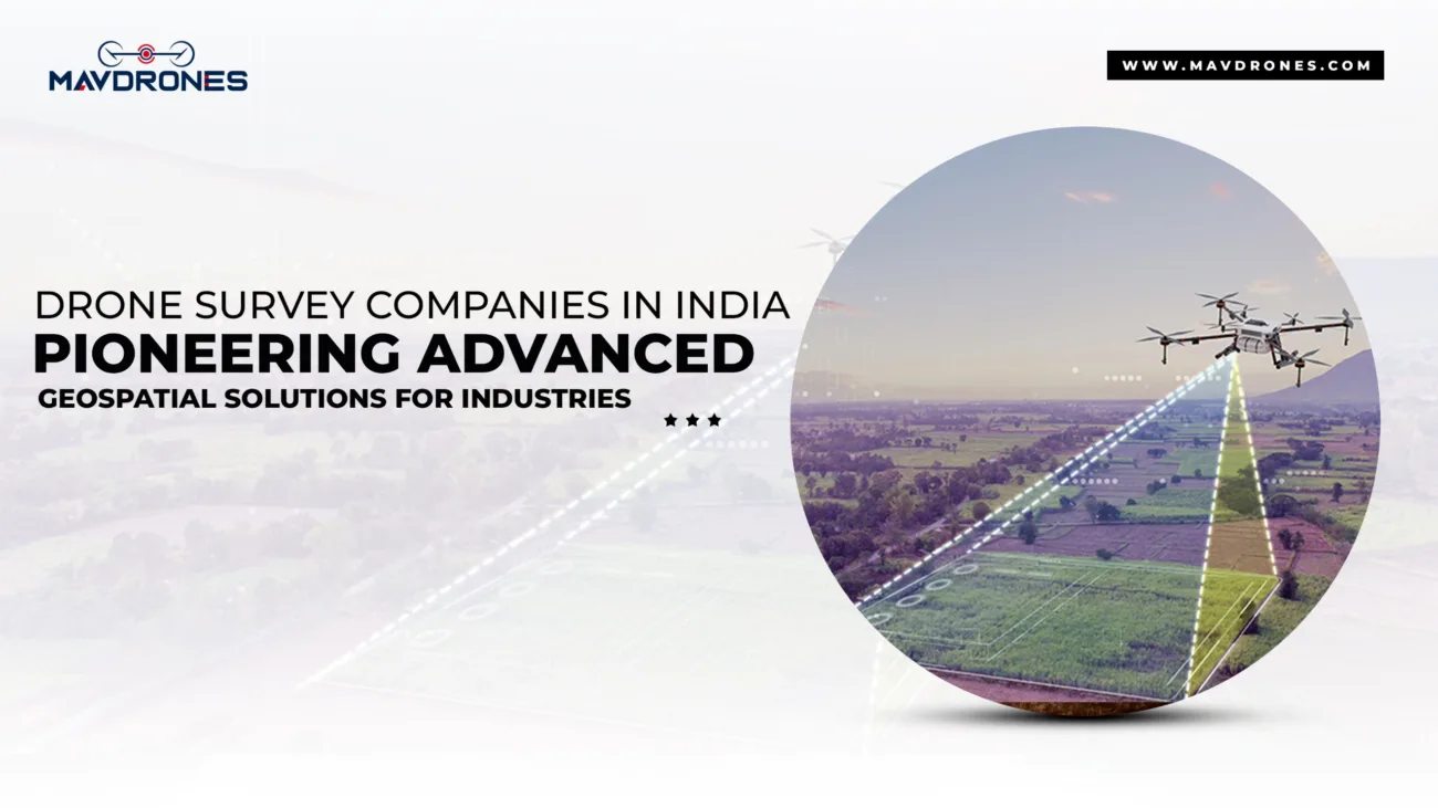
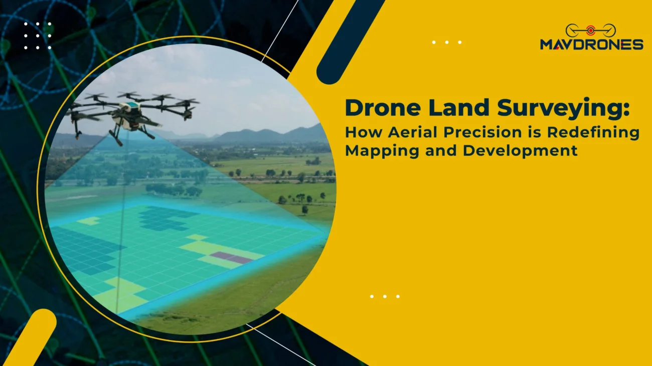
Drones aren’t just about pretty pictures from above. They are powerful tools for creating 3D models of urban landscapes. With LiDAR (Light Detection and Ranging) and photogrammetry, drones can create highly accurate 3D maps. These maps show cities and terrains in stunning detail. Urban planners can visualize how a new building will fit into the environment. They can even predict potential issues before construction starts.

Urban Planning: Drones Design The Skyline
Drones aren’t just for traditional building layouts. They’re now used to design sustainable urban spaces. This includes green rooftops, vertical gardens, and eco-friendly public spaces. With drone-assisted surveying, planners can analyze environmental factors. They study things like sunlight exposure, wind patterns, and air quality. This helps optimize sustainable designs for maximum impact.
Urban Planning: A Glimpse Into The Future
Urban planners often struggle to forecast future growth. They also face challenges in predicting the impact of development. Drones equipped with advanced sensors and AI technology are changing that. These drones can simulate and visualize how urban landscapes will evolve. By feeding historical and real-time data into powerful algorithms, drones make projections. They can forecast future growth trends. Drones also suggest optimal locations for infrastructure development.

Urban Planning: Monitoring Made Easy
Urban planners don’t stop once they build the city. Maintaining infrastructure and ensuring everything is up to code is a continuous process. Drones make this task easier by providing a way to monitor buildings, roads, and other infrastructure remotely. With drones equipped with thermal imaging and high-definition cameras, planners can identify potential issues like leaks, cracks, or wear and tear without the need for manual inspections.
Urban Planning: Power Of Big Data In Smart Cities
The advent of smart cities makes big data integration crucial. Drones play a key role in this revolution. They capture massive amounts of data. Drones collect data on traffic patterns and pollution levels. This helps city planners create more efficient urban environments. It also helps make cities more livable and sustainable.
Sustainability: A Green Future For Urban Planning
Sustainability is more important than ever. Drones can play a significant role in urban planning’s environmental impact. They monitor air quality, track energy consumption, and assess urban green spaces’ health. This allows planners to design cities that are efficient and sustainable.
Most Searched Questions About Drones In Urban Planning
What are drones used for in urban planning?
Urban planners use drones for surveying, mapping, 3D modeling, infrastructure monitoring, and environmental assessments.
How do drones improve the accuracy of city planning?
Drones provide high-resolution imagery and precise 3D mapping, ensuring that urban planners work with accurate, up-to-date data.
Can drones replace traditional surveying methods in urban planning?
Yes, drones can replace traditional surveying methods by providing faster, more accurate data collection with fewer resources.
Are drones helpful in designing sustainable cities?
Absolutely! Drones help monitor air quality, track energy use, and assess green spaces, contributing to more sustainable surveying with drones.
How do drones contribute to faster urban development?
By speeding up data collection and providing real-time insights, drones enable quicker decision-making and reduce delays in development projects.
What is the concept of urban planning?
Urban planning is the process of designing and organizing land use, infrastructure, and public spaces to create functional and sustainable cities.
What are the 7 types of urban planning?
The 7 types of urban planning include land-use planning, environmental planning, transportation planning, economic planning, regional planning, urban design, and social planning.
What do urban planners do?
Urban planners design, regulate and manage land use and development to create well-organized and sustainable urban spaces.
Why is urban planning important?
Surveying with drones is essential for creating efficient, livable, and environmentally sustainable cities while addressing social, economic, and infrastructural needs.
How are drones used in urban planning?
Urban planners use drones for aerial surveying, creating 3D models, mapping infrastructure, and gathering real-time data for decision-making.
How are drones used in city management?
City managers use drones to monitor infrastructure, manage traffic, survey urban areas, and conduct environmental assessments.
How are drones used for mapping?
Drones equip cameras and sensors to capture high-resolution images and create accurate 3D maps of urban areas, improving the mapping process.
Conclusion: Drones Are The Future Of Urban Planning
We’ve already covered the ins and outs of urban planning, so there’s no need to repeat ourselves. Instead, let’s focus on where you can get top-notch survey with drones without breaking the bank.
If you’re looking for budget-friendly, high-quality drone services in India, look no further than MavDrones.
They offer the best drone services at an affordable price, making them the go-to choice for urban planning surveys.
CEO, Mavdrones


