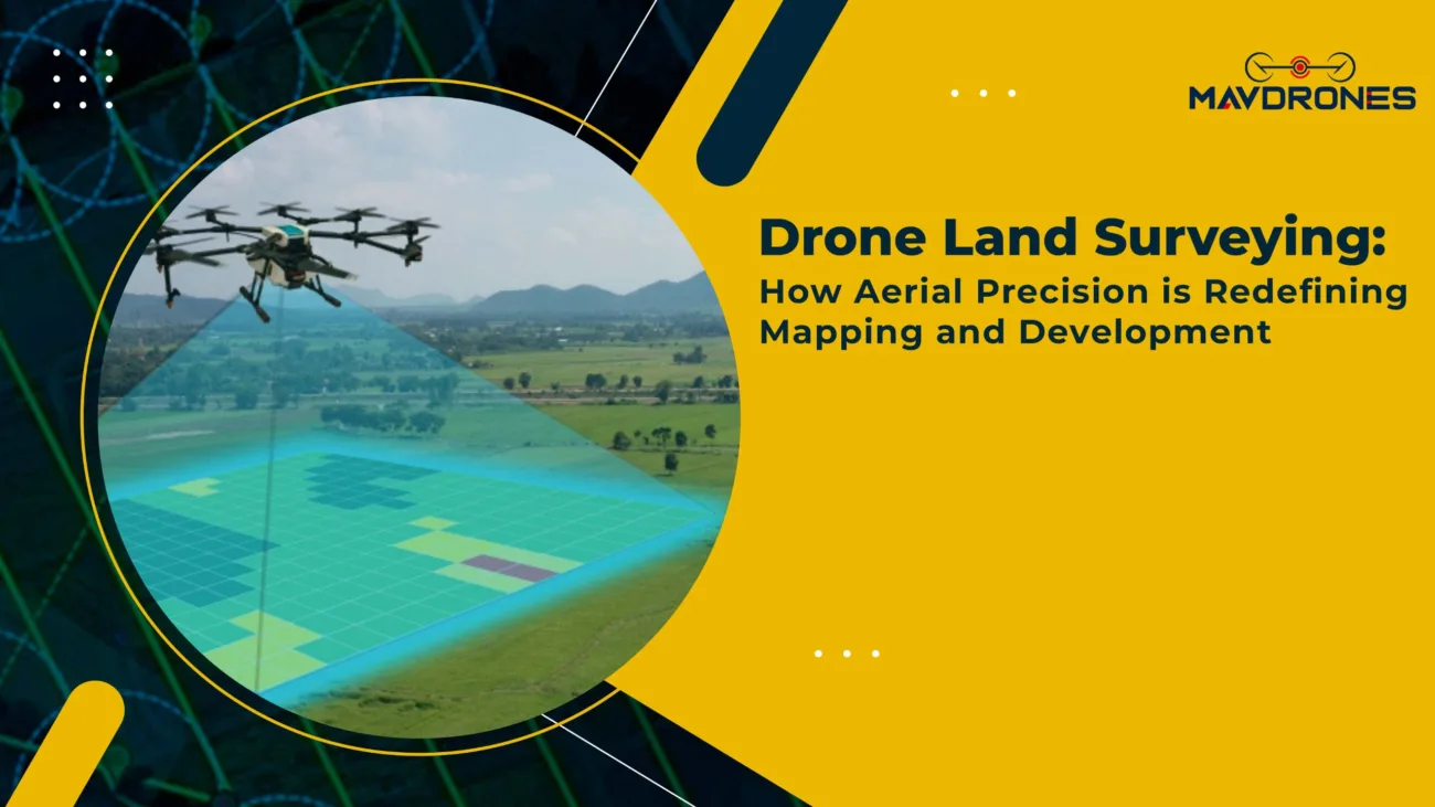
UAV Aerial Survey: Mapping The World Faster, Smarter, And With Zero Hassle

Table of Contents
Let’s face it—traditional surveying was slow, tedious, and full of headaches. Dragging equipment across rough terrain? Check. Spending weeks collecting data? Check. Waiting forever for results? Double check. But what if mapping could be effortless, lightning-fast, and unbelievably precise? That’s where drone surveys steal the show.
So why stick to outdated, time-consuming methods when you can map smarter, not harder? The future of surveying isn’t just here—it’s flying high, and it’s ready when you are!
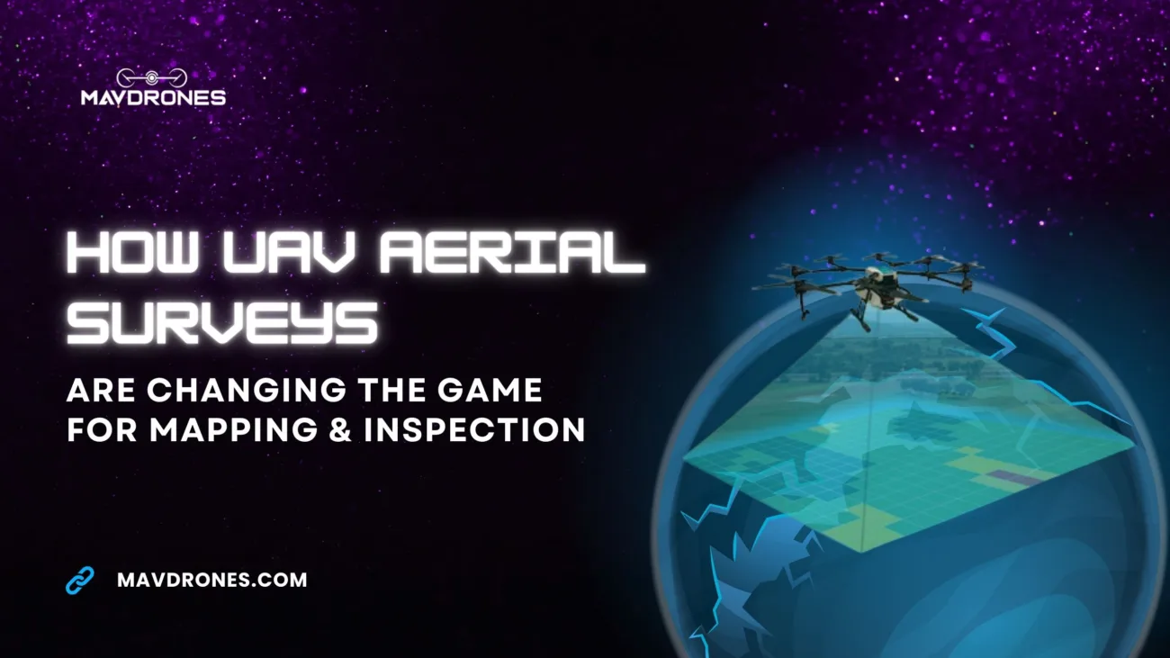
UAV Aerial Survey: The Game-Changer In Mapping
A UAV aerial survey can cover hundreds of acres in just a few hours with centimeter-level accuracy—something traditional methods can’t match. Equipped with high-resolution cameras, LiDAR, and advanced sensors, drones capture detailed imagery, 3D models, and geospatial data in real-time.
The result? Faster decision-making, reduced costs, and increased efficiency across industries like construction, agriculture, and infrastructure planning. With aerial surveys, mapping is no longer slow and labor-intensive—it’s precise, fast, and hassle-free.

How UAV Aerial Survey Works: A High-Tech Revolution
An aerial survey involves three main steps:
- Drone Deployment: Drones equipped with high-resolution cameras, LiDAR, or thermal sensors fly over the survey area, capturing vast amounts of data.
- Data Processing: The images and sensor readings are processed using specialized software to generate detailed maps, 3D terrain models, and georeferenced datasets.
- Analysis & Insights: Surveyors and project managers can then analyze the data to make informed decisions, whether it’s for land development, infrastructure planning, or resource management.
With real-time data streaming and AI-driven analytics, an aerial survey eliminates human error and speeds up the entire mapping process.
Why UAV Aerial Survey Is Replacing Traditional Methods
An aerial survey isn’t just a faster alternative—it’s a smarter one. Here’s why industries worldwide are making the switch:
- Speed: Traditional land surveying takes weeks, while drones can cover the same area in hours.
- Precision: With RTK and PPK GPS systems, drones achieve centimeter-level accuracy.
- Cost Efficiency: Reduces the need for large teams, expensive equipment, and fieldwork costs.
- Safety: Conducts surveys in hazardous or inaccessible areas without putting human lives at risk.
Whether mapping rugged terrains, dense forests, or construction sites, aerial survey technology ensures precision without the hassle.

Industries Transforming With UAV Aerial Survey
Construction & Infrastructure
- Site planning and 3D modeling
- Progress tracking with real-time updates
- Safety inspections without halting operations
Agriculture & Forestry
- Crop health monitoring with multispectral imaging
- Detecting diseases, pests, and irrigation issues
- Large-scale land assessments for sustainable farming
Mining & Quarrying
- Accurate volumetric calculations for resource estimation
- Slope stability analysis for worker safety
- Monitoring excavation progress without ground intervention
Disaster Management & Environmental Monitoring
- Rapid assessment of flood, wildfire, and earthquake damage
- Tracking deforestation and land degradation
- Mapping disaster-prone areas for early warning systems
From urban development to environmental conservation, aerial survey applications are expanding at an incredible pace.

Choosing The Right UAV Aerial Survey Drone
Not all drones are built for surveying. When selecting a drone for aerial survey applications, consider the following:
- High-Resolution Camera or LiDAR Sensor: For capturing detailed imagery and precise elevation data.
- RTK/PPK GPS System: Ensures centimeter-level accuracy, essential for land mapping and construction.
- Extended Flight Time: Long battery life is crucial for covering large survey areas in a single flight.
- Automated Flight Planning: Reduces manual effort and ensures systematic data collection.
- Weather Resistance: A rugged, all-weather drone ensures uninterrupted operations in challenging conditions.
With the right UAV, businesses can streamline operations, reduce costs, and improve project accuracy like never before.
The Future Of UAV Aerial Survey: What’s Next?
The future of aerial survey is all about automation and real-time analytics. Upcoming advancements include:
- AI-Driven Data Processing: Drones will analyze data mid-flight, providing instant insights.
- Swarm Drone Mapping: Multiple drones working together to map even larger areas.
- Enhanced 3D Modeling: Real-time 3D reconstruction of environments for urban planning and disaster response.
- Improved Sensor Technology: Advanced LiDAR, hyperspectral, and infrared sensors for deeper data insights.
As drones become smarter, faster, and more powerful, drone surveys will continue to revolutionize industries, making mapping more efficient and hassle-free.

Most Searched Questions On UAV Aerial Survey
What is a UAV aerial survey?
An aerial survey is a mapping technique using drones equipped with cameras or LiDAR to capture high-resolution geospatial data.
How accurate is UAV aerial survey mapping?
With RTK/PPK GPS technology, aerial surveys can achieve centimeter-level accuracy.
What industries use UAV aerial surveys?
Construction, agriculture, mining, infrastructure, environmental monitoring, and disaster management rely on aerial surveys.
How do UAV aerial surveys work?
Drones fly over an area, capturing images and sensor data, which are then processed into detailed maps and 3D models.
What are the advantages of UAV aerial surveys over traditional surveys?
Aerial surveys are faster, more cost-effective, safer, and provide highly accurate real-time data.
What types of drones are used for UAV aerial surveys?
Fixed-wing drones for large-scale mapping and multirotor drones for detailed, high-precision surveys.
Can UAV aerial surveys be used for land surveying?
Yes, drones are widely used for topographic mapping, boundary surveys, and terrain analysis.
What sensors are used in aerial surveys?
Common sensors include high-resolution RGB cameras, LiDAR, thermal, multispectral, and hyperspectral sensors.
Final Thoughts On UAV Aerial Survey
Surveying doesn’t have to be slow, expensive, or frustrating—not when drones can do the job faster, cheaper, and with pinpoint accuracy. UAV surveying companies are changing the game, making mapping effortless. And when it comes to the best in the business, Mavdrones is leading the way.
Still relying on outdated methods? It’s time to survey smarter, not harder. Let Mavdrones take your projects to the next level!

CEO, Mavdrones