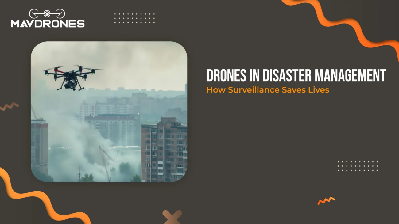
Smart Slope Monitoring: Prevent, Protect, Build

In industries like mining, construction, and environmental management, keeping an eye on slopes is critical. But old-school methods? Time-consuming, labor-intensive, and costly.
But With Drones, You Get-
✅ High precision– No more guesswork
✅ Faster data collection– What took days now takes minutes
✅ Cost-effective– Less manpower, more efficiency
In this blog, we’ll dive into how drones are reshaping point slope monitoring and why they’re the future of geospatial analysis. Stay tuned!
What Is Point Slope Monitoring?
Point slope monitoring systematically tracks terrain and slope changes to detect movement, erosion, or instability over time. This method is widely used in industries such as mining, construction, and environmental management to ensure safety and sustainability.

Why Is It Important?
- Landslide Prevention– Identifies early warning signs of slope failure, reducing risks to lives and property.
- Infrastructure Stability– Ensures the safety of roads, bridges, dams, and buildings constructed on or near slopes.
- Environmental Conservation– Helps monitor erosion patterns and manage natural resources effectively.
- Disaster Risk Management– Provides crucial data for early intervention and mitigation strategies.
With advancements in technology, drones, and remote sensing tools have significantly improved the accuracy and efficiency of point slope monitoring, making it an essential component of modern geospatial analysis.
Why Use Drones For Point Slope Monitoring?
Drones offer several advantages over traditional surveying methods:
- High Accuracy- Equipped with LiDAR and RTK GPS, drones capture detailed elevation data.
- Speed & Efficiency- Drones scan large areas in minutes compared to traditional surveys that take days.
- Safety- Eliminates the need for human surveyors in dangerous or unstable areas.
- Cost-Effective- Reduces labor and equipment costs associated with ground surveys.
Key Technologies Used In Drone-Based Point Slope Monitoring
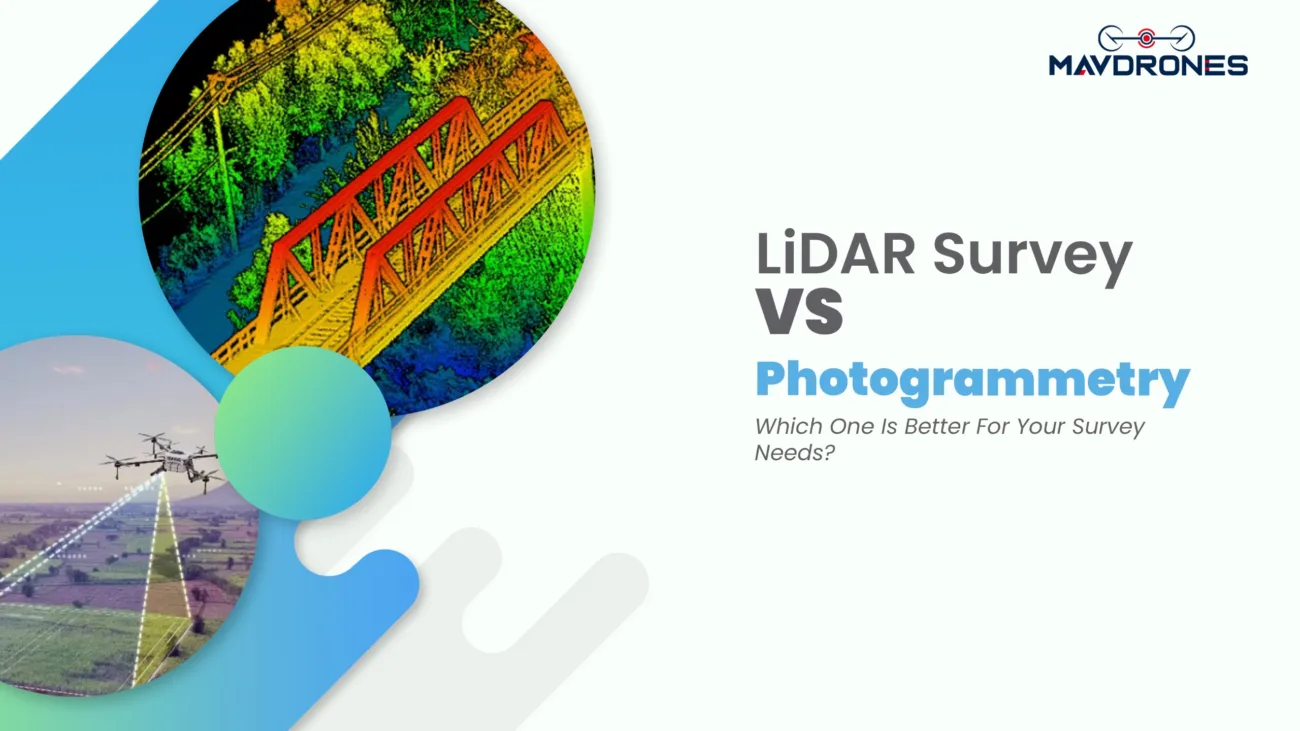
- LiDAR Sensors- Uses laser pulses to create high-resolution 3D models of terrain.
- Photogrammetry- Captures aerial images to generate digital elevation models (DEMs).
- RTK & PPK GPS- Enhances positional accuracy for precise monitoring.
- AI & Machine Learning- Automates data analysis to detect changes over time.
Applications Of Drone-Based Point Slope Monitoring
- Mining- Detects slope instability in open-pit mines to prevent collapses.
- Construction- Monitors excavation sites for safety and regulatory compliance.
- Landslide Prevention- Tracks soil movement in landslide-prone areas.
- Agriculture- Assesses soil erosion and water drainage patterns.
- Forestry- Monitors deforestation and terrain changes over time.
Challenges And Solutions About Point Slope Monitoring
- Weather Conditions- Strong winds and rain can affect drone flights.
- Solution- Use weather-resistant drones and plan flights during optimal conditions.
- Regulatory Restrictions- Some areas have strict drone operation laws. Solution: Obtain necessary permits and follow aviation guidelines.
- Data Processing- Large datasets require advanced software for analysis. Solution: Use cloud-based GIS platforms for faster processing.
FAQ About Point Slope Monitoring
What is slope monitoring?
Slope monitoring is the process of tracking terrain changes to detect movement, erosion, or instability.
What is the point-slope method?
The point-slope method is a mathematical approach used to determine a line’s equation given a point and its slope.
What is a slope analysis used for?
Experts use slope analysis to assess terrain stability, predict landslides, and support construction and mining operations.
How to check the stability of a slope?
Engineers check slope stability using geotechnical surveys, drone-based LiDAR scans, and numerical modeling.
Which method is used for slope stability analysis?
Methods like the Limit Equilibrium Method (LEM) and Finite Element Method (FEM) are commonly used.
Can drones be used for surveying?
Yes, drones are widely used for surveying due to their high accuracy, speed, and cost-effectiveness.
Conclusion About Point Slope Monitoring
If you are looking for point slope monitoring services in India, contact MavDrones. They provide the best drone services in India at the best price possible. As technology advances, their geospatial analysis expertise will ensure better terrain management and disaster prevention.

CEO, Mavdrones