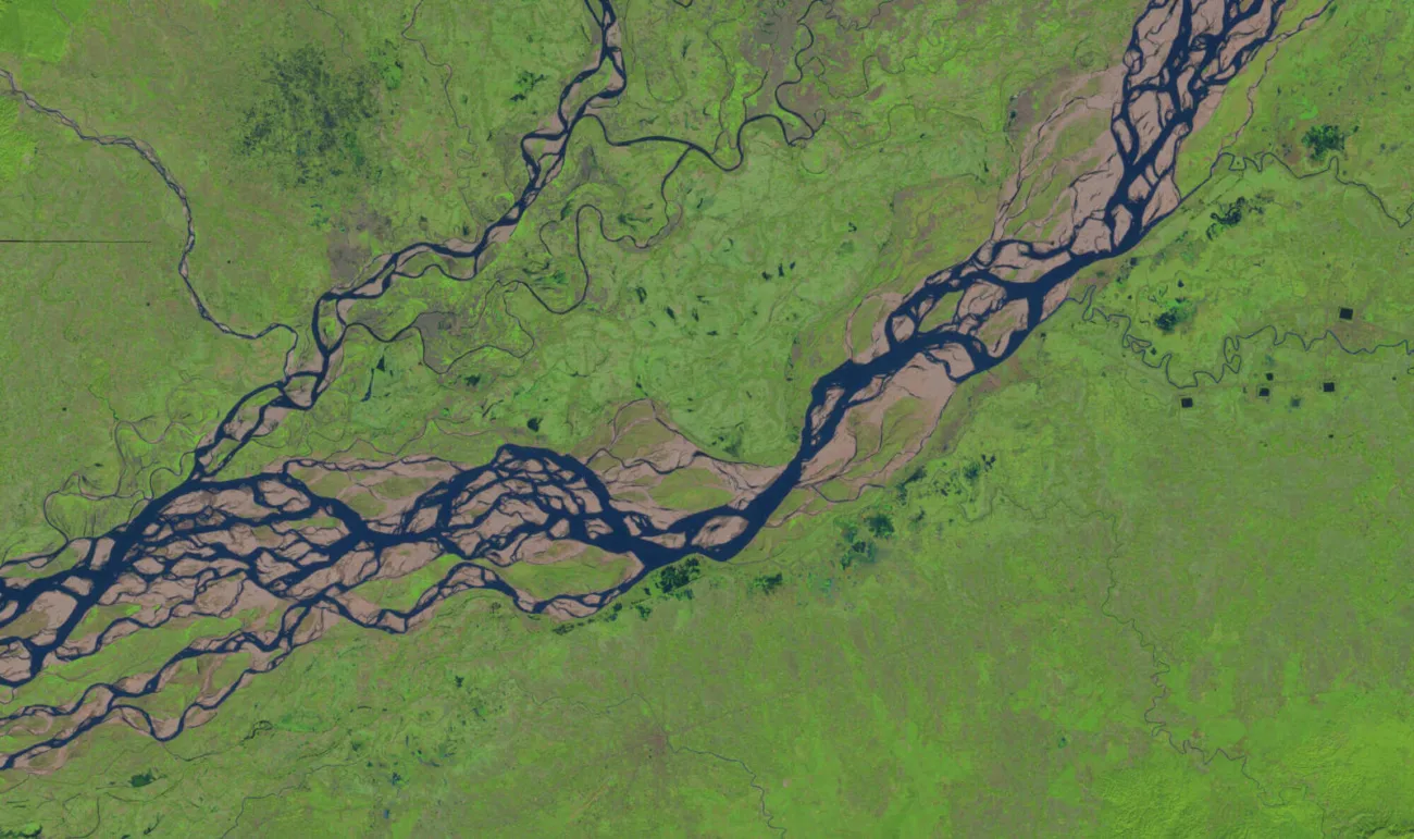
River Bank Mapping: Drones Making Waves In Topography!

River bank mapping plays a vital role in drone for surveying. It provides key insights into the landscape along riverbanks. Whether for environmental monitoring, infrastructure planning, or flood management, this process is crucial for informed decision-making. With advanced technologies like drones, the efficiency and accuracy of survey drones have reached new heights. Read along to discover how these innovations are revolutionizing the way we map, analyze, and manage river environments.
Why River Bank Mapping Is A Game-Changer
- Speed And Efficiency: Drones quickly cover large riverbank areas, reducing survey time, especially in remote or urgent situations.
- High Precision: Drones with LiDAR sensors create highly accurate maps, capturing small terrain changes like erosion or sediment buildup.
- Cost-Effectiveness: Drones lower costs by reducing the need for manpower, equipment, and time compared to traditional methods.
Real-Time Data Collection: Drones transmit data instantly, enabling quick analysis and faster decision-making for urgent situations like flooding.
Key Technologies Behind River Bank Mapping
Speed And Efficiency: Drones quickly cover large riverbank areas, reducing survey time, especially in remote or urgent situations.
High Precision: Drones with LiDAR sensors create highly accurate maps, capturing small terrain changes like erosion or sediment buildup.
Cost-Effectiveness: Drones lower costs by reducing the need for manpower, equipment, and time compared to traditional methods.
Real-Time Data Collection: Drones transmit data instantly, enabling quick analysis and faster decision-making for urgent situations like flooding.

Applications Of River Bank Mapping
- Flood Risk Assessment: Drones quickly map flood-prone areas, helping assess risks and plan control measures.
- Erosion Monitoring: Drones track erosion patterns, providing key data for control strategies and land management.
- Infrastructure Planning: Drones deliver precise maps, ensuring safe, sustainable infrastructure near riverbanks.
- Environmental Monitoring: Drones help track biodiversity and habitat changes, supporting conservation efforts.
- Mapping Remote Locations: Drones safely map hard-to-reach or dangerous riverbank areas, ensuring efficiency and safety.
Future Trends In River Bank Mapping
As drone technology continues to evolve, the future of riverbank mapping looks brighter than ever. Here are some of the trends to watch for:
- AI-Driven Data Processing: Artificial intelligence is set to revolutionize drone data processing. AI algorithms can analyze large datasets from drones. These algorithms detect patterns like erosion hotspots or changes in vegetation. They can also predict future riverbank conditions.
- Real-Time Flood Monitoring: In the future, drones could play a crucial role in real-time flood monitoring. They would transmit live data about water levels and riverbank conditions during flood events. This would help authorities respond faster and more effectively.
- Autonomous Drones: The development of fully autonomous drones will allow for continuous, long-term monitoring of riverbanks. These drones could regularly capture data and provide up-to-date insights without the need for manual control.
Most Searched Questions About River Bank Mapping
What is drone-based river bank mapping?
Drone-based river bank mapping uses drones equipped with sensors like LiDAR and cameras. These drones capture accurate data on riverbanks. The data helps monitor, predict floods, and plan infrastructure.
How accurate is drone-based riverbank mapping?
Drones can provide highly accurate data, especially when equipped with LiDAR sensors, offering centimeter-level precision in mapping riverbank topography.
How do drones help in flood risk management?
Drones map flood-prone areas and monitor riverbank changes, providing essential data for flood risk assessments and the planning of flood control measures.
Can drones detect riverbank erosion?
Yes, drones can track changes in the riverbank’s shape over time, allowing for precise monitoring of erosion patterns.
What types of drones are used for riverbank mapping?
Drones equipped with LiDAR sensors, high-resolution cameras, and thermal imaging are commonly used for riverbank mapping.
Are drones cost-effective for riverbank mapping?
Yes, drones are a cost-effective alternative to traditional survey methods, reducing the need for manpower, equipment, and time.
Conclusion About River Bank Mapping
Drone For Surveying has transformed how we study and manage river ecosystems. Drones capture high-precision data quickly, making them indispensable for monitoring flood risks, preventing erosion, and planning infrastructure. If you want to take your river bank mapping to new heights, look no further than MavDrones! We offer the best drone services at unbeatable prices across India. Whether you’re working on flood risk assessments, infrastructure planning, or environmental monitoring, MavDrones is here to help. Contact us today for a free consultation and let us elevate your projects with drone technology!
CEO, Mavdrones

