Leading Drone Survey Companies In India: Transforming Aerial Mapping And Data Accuracy

Table of Contents
Imagine this—you’re mapping a huge piece of land, and instead of spending days (or weeks) walking around with measuring tapes and heavy equipment, a drone does it all in minutes. Sounds like a dream, right? Well, that’s exactly what aerial survey technology is doing—making land mapping faster, smarter, and more accurate than ever before. Whether it’s keeping track of a construction site, helping farmers monitor crops, or designing better cities, drones are completely changing the game.
And India isn’t just riding this wave—it’s leading the charge! With Drone Rules 2021 and the Production Linked Incentive (PLI) scheme, the government is pushing the drone industry to new heights. As a result, aerial survey companies are thriving, helping industries like infrastructure, mining, agriculture, and urban planning work smarter, not harder. The future of surveying is already here—and it’s flying right over us!
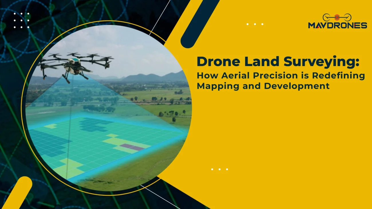
What Is Drone Surveying?

An aerial survey is an aerial data collection method using unmanned aerial vehicles (UAVs) equipped with high-resolution cameras, LiDAR sensors, and GPS technology. The captured images and point cloud data help generate accurate maps, 3D models, and topographical assessments.
Compared to conventional land-based surveying, drone technology offers:
- Higher Accuracy: Drones provide centimeter-level precision in mapping.
- Faster Data Collection: Surveys that take weeks with manual methods can be completed in hours.
- Cost Efficiency: Reduces labor costs and eliminates the need for expensive land-based survey equipment.
- Accessibility: Drones can easily reach remote, hazardous, or difficult-to-access areas.
Key Industries Using Drone Survey Technology
Infrastructure and Construction

- Aerial survey services are widely used in construction project monitoring, site inspections, and earthwork calculations.
- Engineers rely on UAV-generated 3D models for structural analysis and planning.
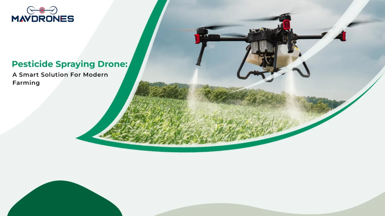
Agriculture and Precision Farming
- Aerial survey technology enables farmers to assess crop health, monitor soil conditions, and optimize irrigation.
- Multispectral drone imaging helps detect pest infestations and nutrient deficiencies early.
Mining and Mineral Exploration
- Aerial survey solutions aid in volumetric analysis, mine planning, and stockpile monitoring.
- UAVs improve safety by mapping hazardous terrains and reducing human exposure.
Urban Planning and Smart Cities
- Government bodies use aerial survey data for land-use planning, road network mapping, and infrastructure development.
- Drones provide updated city models for better traffic and population management.
Environmental and Disaster Management
- Aerial survey services play a crucial role in environmental monitoring, afforestation projects, and coastal erosion mapping.
- UAVs assist in disaster relief by assessing flood zones, landslides, and post-cyclone damage.
Future Of Drone Surveying In India
Technological advancements and rising industry demand are rapidly driving the expansion of India’s aerial survey industry. Key trends shaping the future include:
- Adoption of AI and Machine Learning: Automating data processing for more accurate predictions.
- Expansion of BVLOS (Beyond Visual Line of Sight) Operations: Allowing drones to cover larger areas without manual intervention.
- Integration with IoT and Cloud Computing: Enabling real-time data access for decision-making.
- Government Investments in Drone Infrastructure: Policies supporting indigenous drone manufacturing and operations.
Most Searched Questions on Drone Survey
Which is the best drone survey company in India?
Companies like Mavdrones are among the leading aerial survey providers in India.
How accurate is a drone survey?
Aerial surveys can achieve centimeter-level accuracy, depending on the sensors used, such as LiDAR or RTK GPS.
What industries use drone surveys in India?
Aerial surveys are widely used in construction, agriculture, mining, infrastructure, urban planning, and environmental monitoring.
What are the advantages of using drones for surveys?
Drones offer faster data collection, high accuracy, cost savings, improved safety, and access to difficult terrains.
Is drone surveying legal in India?
Yes, aerial surveying is legal in India under the Drone Rules 2021, but it requires proper permissions and DGCA certification.
How long does a drone survey take?
Depending on the project size, an aerial survey can be completed in a few hours to a couple of days, significantly faster than traditional methods.
Can drone surveys be used for land mapping?
Yes, drones are widely used for land mapping, providing highly detailed topographical data for real estate, infrastructure, and urban planning.
Which company provides the best drone survey services in India?
MavDrones is among the top aerial survey companies in India, offering high-precision aerial mapping and geospatial solutions.
Conclusion On Drone Survey
The drone survey revolution is here, reshaping industries with speed, precision, and cost-efficiency like never before. From infrastructure and agriculture to environmental conservation, drones are redefining how we collect and analyze geospatial data. As demand skyrockets, businesses are now considering the drone survey price as a long-term investment rather than an expense.
Leading companies like Mavdrones, Aarav Unmanned Systems, and IG Drones are setting new benchmarks in aerial mapping and intelligence, proving that drones are not just the future—they are the present. If you’re looking for high-precision drone survey solutions at the best value, Mavdrones is the name to trust. The sky is no longer the limit—it’s just the beginning!

CEO, Mavdrones