Land Survey Services: Can Drones Map The Future?

Table of Contents
Land survey services are the unsung architects of every towering skyscraper, thriving farmland, and meticulously planned city. But let’s be real—traditional surveying was a test of patience, endurance, and back pain. It meant hauling heavy equipment under the sun, spending endless hours on-site, and hoping your calculations didn’t betray you.


Now, drones have stormed onto the scene, revolutionizing the game with unmatched speed, precision, and efficiency. From high-resolution aerial mapping to LiDAR-powered terrain analysis, drone-based land survey services offer pinpoint accuracy while slashing costs and time. In this guide, we’ll uncover how drones are transforming land surveys, the groundbreaking technology behind them, and the top companies setting new standards in India. Get ready to see the future—mapped from above!
The Evolution Of Land Survey Services With Drones

Drone surveys don’t just replace old-school methods; they redefine them. By cutting down manpower, minimizing human errors, and delivering high-resolution aerial data, drones can generate topographic maps, 3D models, and volumetric analysis reports with ease. Less guesswork, more precision—welcome to the future of land surveying!
Surveying has come a long way from the days of manually measuring land with total stations and theodolites—where patience was as important as precision. Over time, the industry shifted from ground-based surveys to aerial mapping via aircraft, and now, we’ve entered the era of high-tech drones that make land surveying faster, safer, and ridiculously accurate.
How Drone Land Survey Services Work
Drone-based land surveys follow a systematic approach to ensure precision and accuracy:
- Pre-Survey Planning: GPS and mapping software program the flight paths.
- Data Collection: Drones capture high-resolution images, LiDAR scans, and GPS coordinates.
- Data Processing: Specialized software converts images into 3D models, topographic maps, and georeferenced data.
- Analysis & Reporting: Surveyors interpret the results for construction planning, land development, or environmental monitoring.
Advanced Technologies Powering Drone Land Survey Services

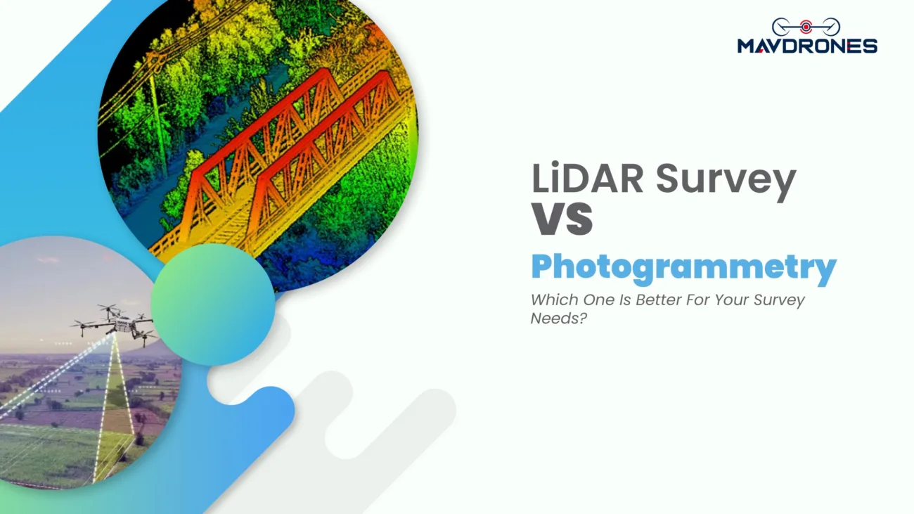
- LiDAR In Drone Land Survey Services: LiDAR (Light Detection and Ranging) uses laser pulses to measure distances and create detailed 3D terrain models. LiDAR-equipped drones are ideal for dense vegetation, rugged terrains, and high-accuracy elevation mapping.
- Photogrammetry In Drone Land Survey Services: Photogrammetry is a technique that stitches together high-resolution aerial images to create accurate maps and 3D models. It’s widely used in construction site monitoring, real estate, and urban planning.
- RTK and PPK GPS in Drone Land Survey Services: Real-Time Kinematics (RTK) and Post-Processed Kinematics (PPK) are advanced positioning technologies that enhance GPS accuracy. These ensure precise geospatial measurements, reducing the need for ground control points (GCPs).
Applications Of Drone Land Survey Services
Land Survey Services for Construction And Infrastructure
Drones create detailed site maps, helping in project planning and progress tracking. They assist in identifying obstacles, measuring land elevations, and ensuring structural alignment.
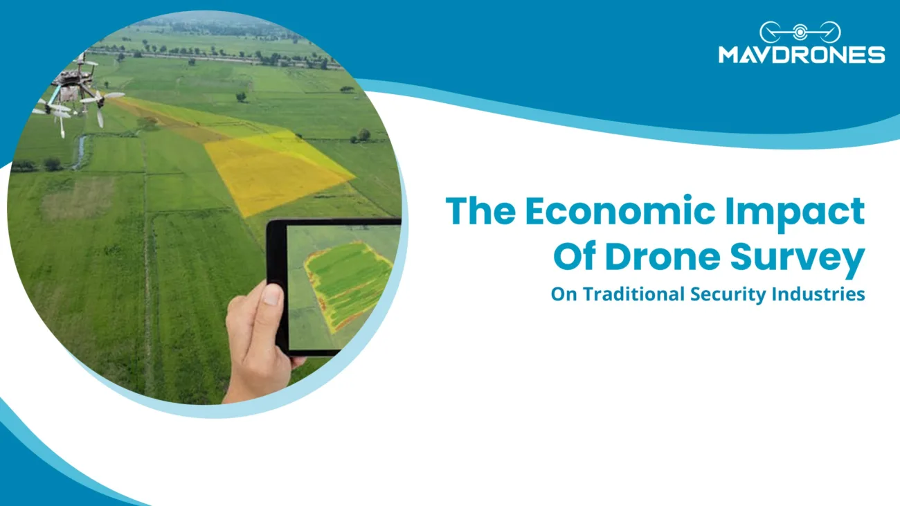
Land Survey Services for Agriculture and Forestry
Drone surveys help farmers analyze soil health, crop growth patterns, and irrigation efficiency. In forestry, drones track deforestation, tree density, and overall land health.
Land Survey Services for Mining and Quarrying
Mines and quarries rely on drones for volume calculations, pit monitoring, and stockpile measurements. Drone mapping is faster and safer than traditional methods, reducing risks to human surveyors.
Land Survey Services for Real Estate and Urban Planning
Drones provide high-resolution aerial maps for site selection, property valuation, and land development. These surveys also aid in smart city planning by offering accurate geospatial data.
Land Survey Services for Disaster Management and Environmental Monitoring
Drones play a crucial role in assessing flood-prone areas, tracking soil erosion, and monitoring environmental changes. After disasters, drone surveys help rescue teams by providing real-time mapping of affected areas.
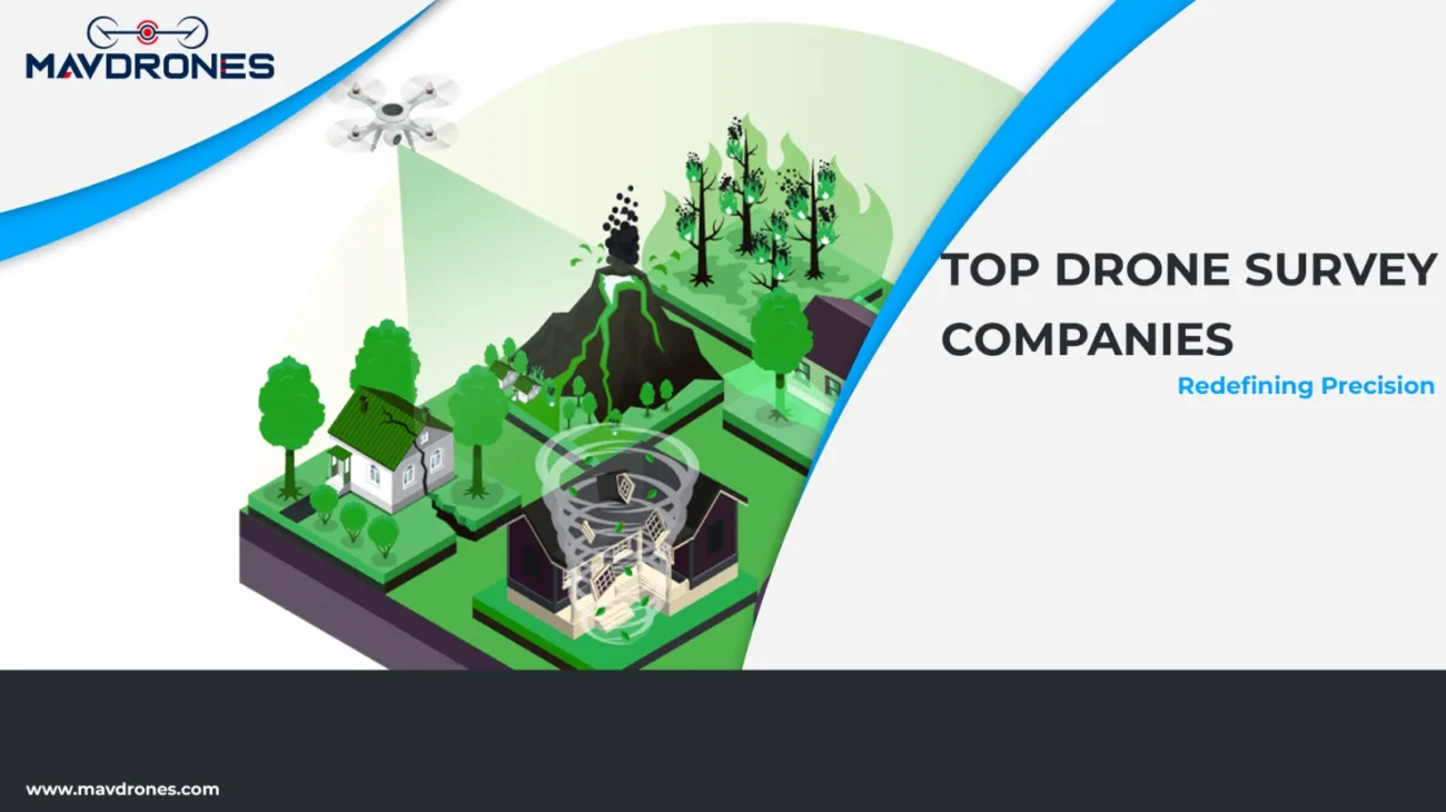
Who Provides The Best Land Survey Services In India?
Geokno
Geokno specializes in high-accuracy land survey services using LiDAR technology. Their expertise extends to infrastructure planning, mining surveys, and urban development projects. They collaborate with government agencies and private firms, offering advanced mapping solutions.
MavDrones
When it comes to drone-based land survey services in India, MavDrones doesn’t just participate—it dominates. Known for delivering precision mapping, high-resolution aerial imaging, and LiDAR surveys at unbeatable prices, they’ve carved a reputation that soars above the rest.
But MavDrones isn’t just about maps and measurements—it’s about possibilities. From infrastructure mapping and agricultural surveys to defense surveillance, mining inspections, and even awe-inspiring drone shows, they do it all. With a solid industry presence and a wave of glowing reviews, MavDrones isn’t just keeping up with the future of land surveying—they’re leading it.
IG Drones
IG Drones is a well-established drone survey company offering mapping solutions for construction, mining, and environmental monitoring. They provide customized drone-based solutions for government projects and large enterprises.
Garuda Aerospace
Garuda Aerospace is a leading name in India’s drone industry, offering surveying and mapping solutions for agriculture, real estate, and industrial projects. Their expertise in drone-based infrastructure monitoring has made them a reliable service provider.
Aero360
Aero360 provides GIS mapping, topographic surveys, and volumetric analysis using drones. Their solutions cater to construction companies and government agencies that require high-accuracy geospatial data.
Most Searched Questions About Land Survey Services With Drones
What is drone land surveying?
Drone land surveying is the use of UAVs equipped with cameras, LiDAR, and GPS to collect geospatial data for mapping, topographic analysis, and construction planning.
How accurate are drone land survey services?
Drones equipped with RTK/PPK GPS and LiDAR can achieve centimeter-level accuracy, making them highly precise for surveying applications.
What industries benefit from drone land survey services?
Industries such as construction, mining, agriculture, real estate, and environmental management benefit from drone surveys due to their speed, accuracy, and cost-effectiveness.
How much does a drone land survey cost in India?
To get the best price for a drone land survey, contact MavDrones for competitive rates and customized solutions.
Can drones replace traditional land survey methods?
While drones enhance speed and accuracy, traditional ground surveys are still used for legal boundary marking and highly complex projects requiring on-ground verification.
How long does a drone land survey take?
A drone completes a land survey in a few hours to a couple of days, depending on the area size and data processing requirements.
What is the difference between LiDAR and photogrammetry in drone land survey services?
LiDAR uses laser pulses to capture detailed elevation data, while photogrammetry stitches together high-resolution images to create accurate 3D models and maps.
Do drone land survey services require government approval?
Yes, drone surveys in India must comply with DGCA (Directorate General of Civil Aviation) regulations, and some areas may require special permissions.
What are the advantages of drone land survey services over satellite imagery?
Drones provide higher resolution, real-time data, and better accuracy compared to satellite imagery, which may have outdated or lower-resolution images.
What software is used to process drone survey data?
Popular software for drone survey data processing includes Pix4D, DroneDeploy, Agisoft Metashape, and Autodesk ReCap.
Can drone land survey services be used for property disputes?
Yes, high-accuracy drone surveys help in land boundary mapping and legal documentation for property disputes and land ownership verification.
What are the limitations of drone land survey services?
Weather conditions, airspace regulations, and the need for skilled operators can affect drone surveys.
Conclusion: Embrace The Power Of Drone Land Survey Services
Drone land survey services are revolutionizing the way we map and measure the world. From construction and agriculture to mining and urban planning, drones provide a smarter, faster, and more precise way to collect and analyze land data.
As technology evolves, drone-based surveying will only get sharper, more accessible, and even more indispensable. The key to getting the best results? Choosing a provider that blends expertise, precision, and affordability. If you’re ready to take land surveying to the next level, it’s time to choose a partner that delivers results that truly stand out.

CEO, Mavdrones