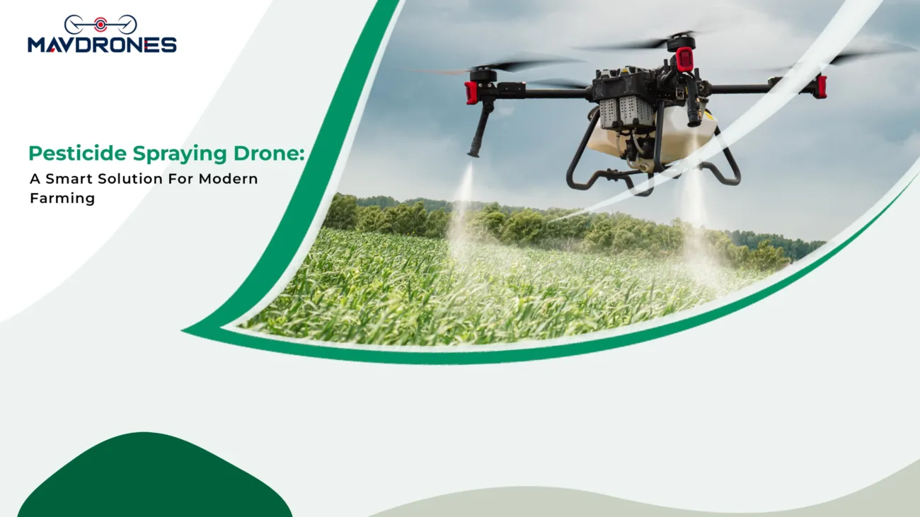
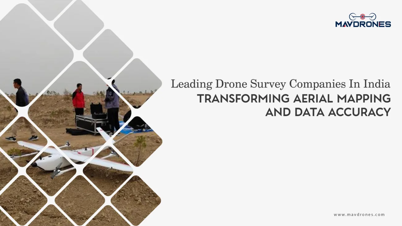
Drone Land Surveying: How Aerial Precision Is Redefining Mapping and Development

Table of Contents
Surveying just got an upgrade—one that flies! Gone are the days of dragging heavy equipment through rugged terrain and spending weeks collecting data. UAV land surveying is changing the game by bringing speed, precision, and efficiency to mapping and development. Equipped with high-resolution cameras, LiDAR sensors, and GPS modules, these airborne surveyors can scan vast landscapes in minutes, capturing detailed 3D models and topographic maps with centimeter-level accuracy. Whether it’s for construction, agriculture, or urban planning, drones are making land surveying faster, safer, and more cost-effective than ever.
How Drone Land Surveying Works
Aerial land surveying involves several steps:

- Pre-Survey Planning: Surveyors define the area of interest and set flight paths using specialized software.
- Data Collection: Drones capture aerial images, LiDAR point clouds, and GPS data while flying at a predetermined altitude.
- Data Processing: Advanced software stitches images together, analyzes LiDAR data, and converts them into detailed topographic maps, 3D terrain models, and elevation charts.
- Analysis & Reporting: The processed data is used for land development planning, construction, environmental monitoring, and more.
Advantages Of Drone Land Surveying
- Faster Data Collection

Traditional land surveys can take days or weeks to complete. Drones significantly reduce this time, covering large areas in just a few hours while maintaining high accuracy.
- High Precision & Accuracy
With the integration of RTK (Real-Time Kinematic) and PPK (Post-Processing Kinematic) GPS technologies, drones achieve centimeter-level accuracy, essential for civil engineering, infrastructure projects, and land management.
- Cost-Effective Solution
Drone surveys reduce the need for manual labor, expensive surveying equipment, and prolonged site visits, making them a cost-efficient alternative to conventional land surveying methods.
- Improved Safety In Hazardous Areas
Surveying rugged terrains such as mountains, forests, or construction sites poses risks to workers. Drones eliminate these risks by remotely collecting data without requiring surveyors to enter dangerous environments.
- Enhanced Data Visualization
Drones generate high-resolution orthomosaic maps, digital surface models (DSMs), and 3D models, allowing surveyors, engineers, and developers to visualize terrain and site conditions with greater detail.
Industries Leveraging Drone Land Surveying

Construction & Infrastructure
- Site planning, earthwork calculations, and monitoring progress
- Detecting inconsistencies in terrain before project initiation
- Preventing costly rework through precise pre-construction mapping
Agriculture & Land Management
- Analyzing soil health and planning irrigation systems
- Assessing crop growth, pest infestations, and yield predictions
- Creating contour maps for effective land grading and water management
Mining & Quarrying
- Mapping excavation sites and calculating stockpile volumes
- Ensuring compliance with environmental and safety regulations
- Monitoring changes in land formations over time

Urban Planning & Real Estate Development
- Evaluating land parcels for urban expansion and zoning regulations
- Creating high-resolution 3D maps for property assessments
- Enhancing real estate marketing with detailed aerial imagery
Environmental Conservation & Disaster Management
- Tracking deforestation, soil erosion, and climate change impacts
- Assessing damage after natural disasters for faster relief efforts
- Monitoring wetlands, coastal areas, and protected ecosystems
Challenges In Drone Land Surveying
While drones offer numerous advantages, there are challenges to consider:
- Regulatory Restrictions: Many countries have strict airspace regulations for drone operations, requiring permits and certifications.
- Weather Dependence: Rain, strong winds, and extreme temperatures can impact drone flight stability and data accuracy.
- Battery Limitations: Most commercial survey drones have limited flight times (20-45 minutes), requiring multiple flights for large-scale projects.
- Data Processing Time: Although drones collect data quickly, processing high-resolution imagery and LiDAR scans can be time-consuming.
The Future Of Drone Land Surveying
Drone technology isn’t just advancing—it’s revolutionizing land surveying. With AI-powered analytics, drones can now interpret data in real time, making surveys smarter and more precise. Real-time 3D mapping is taking accuracy to the next level, offering detailed topographic models in a fraction of the time. And the best part? Fully autonomous drone fleets are on the rise, meaning zero human intervention and maximum efficiency. Add 5G connectivity to the mix, and we’re looking at lightning-fast data transmission, cutting processing times, and making decision-making almost instantaneous. The future of land surveying? It’s autonomous, intelligent, and faster than ever.
Most Searched Questions On Drone Land Surveying
What is drone land surveying?
UAV land surveying is a method that uses UAVs to capture high-resolution aerial data for mapping and analysis.
How accurate is drone land surveying?
With advanced GPS and LiDAR technology, drone land surveys can achieve centimeter-level accuracy.
What is the cost of drone land surveying?
Drone land surveying cost varies based on area size, equipment used, and project complexity but is generally more affordable than traditional methods.
What are the benefits of drone land surveying?
It offers faster data collection, higher accuracy, cost savings, and improved safety in hazardous terrains.
Which industries use drone land surveying?
Construction, agriculture, mining, urban planning, real estate, and environmental management benefit from drone land surveying.
What technology do drones use for land surveying?
They use LiDAR sensors, high-resolution cameras, RTK/PPK GPS, and specialized mapping software.
Is drone land surveying better than traditional surveying?
Yes, it is faster, safer, more cost-effective, and provides higher accuracy with advanced mapping techniques.
Can drones survey large areas?
Yes, drones can efficiently survey vast landscapes in a fraction of the time compared to ground-based methods.
Final Thoughts On Drone Land Surveying
The way we map, measure, and manage land is changing, and drones are leading the charge. With unmatched speed, pinpoint accuracy, and cost-saving efficiency, drone land surveying is not just an upgrade—it’s a revolution. Traditional methods are being left behind as industries embrace this powerful technology to build smarter cities, optimize agriculture, and protect the environment.
And what about the drone land surveying cost? Businesses no longer need to break the bank for high-precision mapping. Thanks to companies like Mavdrones, advanced surveying is now affordable, accessible, and ultra-accurate. Mavdrones provides the best price for drone surveys across India, ensuring top-tier data collection without the premium price tag.

CEO, Mavdrones