3D Scanning Services With Drones: The Future Of Precision Mapping And Data Capture

Table of Contents
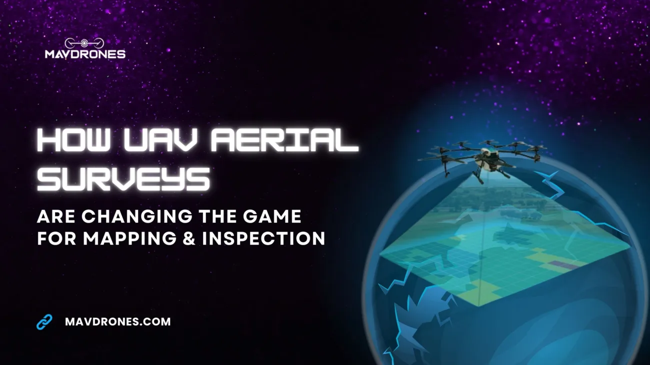
Why spend weeks measuring when a drone can do it in minutes? Drone-powered 3D scanning services are changing the game, replacing slow, labor-intensive surveys with fast, precise, and hassle-free data capture. Whether it’s construction, archaeology, or urban planning, industries are ditching traditional methods for a smarter, safer, and far more efficient way to map and analyze environments. The future of surveying isn’t on the ground—it’s in the sky!
How 3D Scanning Services With Drones Work
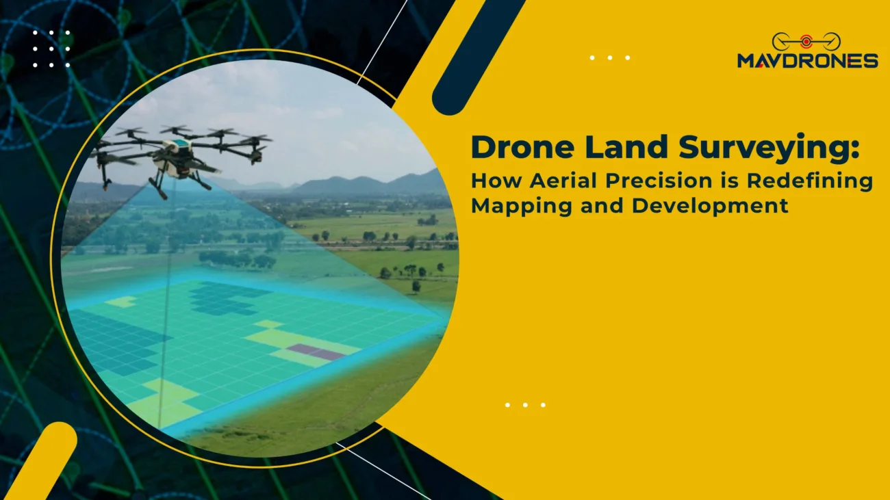
Drones armed with LiDAR and photogrammetry sensors aren’t just flying cameras—they’re precision mapping machines. These advanced tools scan landscapes, infrastructure, and objects in stunning 3D detail, creating digital twins that help businesses plan smarter, analyze better, and monitor with pinpoint accuracy. Whether it’s construction, urban planning, or environmental studies, drone-based 3D scanning brings unmatched precision to the table, without the hassle of ground surveys.
- LiDAR-Based 3D Scanning Services
LiDAR technology uses laser pulses to measure distances and generate high-precision 3D models. It is particularly effective in dense vegetation, mountainous terrain, and complex infrastructure projects where traditional surveying methods struggle to provide accurate data.
- Photogrammetry In 3D Scanning Services
Photogrammetry involves taking overlapping aerial images and using software to process them into a three-dimensional model. This method is widely used in industries like real estate, construction, and urban planning, where high-resolution visuals are essential for decision-making.
Industries Benefiting From Drone-Based 3D Scanning Services
The applications of 3D scanning services extend across multiple industries, enhancing efficiency, accuracy, and cost-effectiveness.

Construction and Infrastructure Development
- Creating precise topographic maps for site planning and layout.
- Monitoring construction progress through detailed 3D models.
- Reducing human errors in measurements, preventing costly rework.
Mining and Quarrying
- Conducting volumetric analysis of stockpiles for accurate inventory tracking.
- Enhancing safety by inspecting hazardous areas remotely.
- Generating high-resolution 3D terrain models for optimized excavation planning.
Agriculture and Forestry
- Mapping farmlands to analyze soil quality and crop health.
- Monitoring deforestation and tracking changes in forest density.
- Identifying irrigation and drainage needs through elevation models.
Urban Planning and Smart Cities
- Assisting in city development with highly detailed 3D models.
- Conducting traffic and infrastructure analysis for better planning.
- Supporting disaster management by providing precise geospatial data.
Historical Preservation and Archaeology
- Digitizing heritage sites to create detailed 3D records.
- Tracking structural deterioration over time for conservation efforts.
- Reconstructing lost or damaged historical structures virtually.

Advantages Of Drone-Based 3D Scanning Services
Rapid Data Collection: Drones can scan large areas in significantly less time than traditional surveying methods.
- Cost-Effective Operations: Reduces the need for extensive manpower and expensive ground equipment.
- Superior Precision: LiDAR and photogrammetry technology ensure centimeter-level accuracy.
- Enhanced Safety: Eliminates risks associated with hazardous or difficult-to-reach locations.
- Real-Time Data Processing: Cloud-based software enables instant access and analysis of 3D models.
Most Searched Questions On 3D Scanning Services With Drones
What are 3D scanning services with drones?
3D scanning services with drones use LiDAR or photogrammetry to capture high-resolution, three-dimensional models of landscapes, structures, and objects.
How does drone-based 3D scanning work?
Drones equipped with LiDAR or high-resolution cameras capture data from multiple angles, which is then processed into detailed 3D models using specialized software.
What is the difference between LiDAR and photogrammetry in 3D scanning?
LiDAR uses laser pulses to create precise 3D maps, even through vegetation, while photogrammetry relies on overlapping images to generate 3D models with high visual detail.
Which industries use 3D scanning services with drones?
Construction, mining, agriculture, urban planning, forestry, archaeology, and infrastructure development benefit from drone-based 3D scanning.
Why are drones better than traditional land surveying for 3D scanning?
Drones offer faster data collection, higher precision, cost savings, improved safety, and real-time data analysis compared to traditional methods.
How accurate is drone-based 3D scanning?
Drone-based 3D scanning can achieve centimeter-level accuracy, depending on the sensor type and data processing techniques used.
What software is used to process drone 3D scan data?
Common software includes Pix4D, DroneDeploy, Autodesk ReCap, RealityCapture, and Global Mapper.
Can drones scan underground structures?
No, drones primarily scan surface structures, but LiDAR can penetrate vegetation and detect slight underground variations.
The Future Of 3D Scanning Services With Drones
With drones getting smarter and AI-powered automation stepping in, 3D scanning services are becoming an industry essential. Faster data processing, predictive analytics, and real-time monitoring are turning digital twins into powerful decision-making tools. Whether it’s constructing smarter cities, protecting the environment, or optimizing infrastructure, drone-powered scanning is reshaping the way we map and manage the world.
Precision, efficiency, and innovation aren’t just the future—they’re happening now! And with Mavdrones leading the charge, you can be sure that the future of mapping is in safe hands.

CEO, Mavdrones